


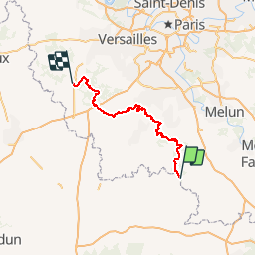

28 km | 33 km-effort


User


FREE GPS app for hiking
 SityTrail
IGN / Geographical institutes
SityTrail World
The world is yours!
Trail Walking of 114 km to be discovered at Centre-Loire Valley, Loiret, Le Malesherbois. This trail is proposed by lasvergn.
Randonnée avec le GR1 autour de Paris par le Loiret et les Yvelines de Malesherbes à Rambouillet.

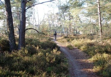
Walking
Mountain bike

Walking
Walking
Walking

Running
Running
Walking
Walking